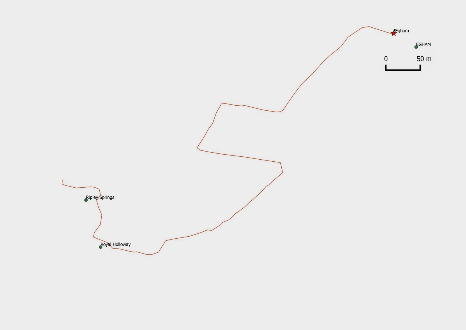
Map made using QGIS 2.2
On the way, I glanced just past both Ripley Springs and Royal Holloway points (to be re-visited later: both points sit on top specific buildings on campus).
Going down to Egham with my kit (GPS, camera, notepad) I didn't know what to expect: what would the essence of Egham look like? See below:
It turns out 'Egham' (according to OS data) resides at the intersection of The Crescent and Spring Avenue. (Or at least within 50 metres of the intersection, in someone's backyard!)


No comments:
Post a Comment