Friday, May 30, 2014

PARISH 2: Egham

I got within 50m of the centroid of Egham, the named place shown as a point on the map, but that is actually a kind of polygon, or area, or topographical feature, not to mention a town.

Map made using QGIS 2.2

On the way, I glanced just past both Ripley Springs and Royal Holloway points (to be re-visited later: both points sit on top specific buildings on campus).

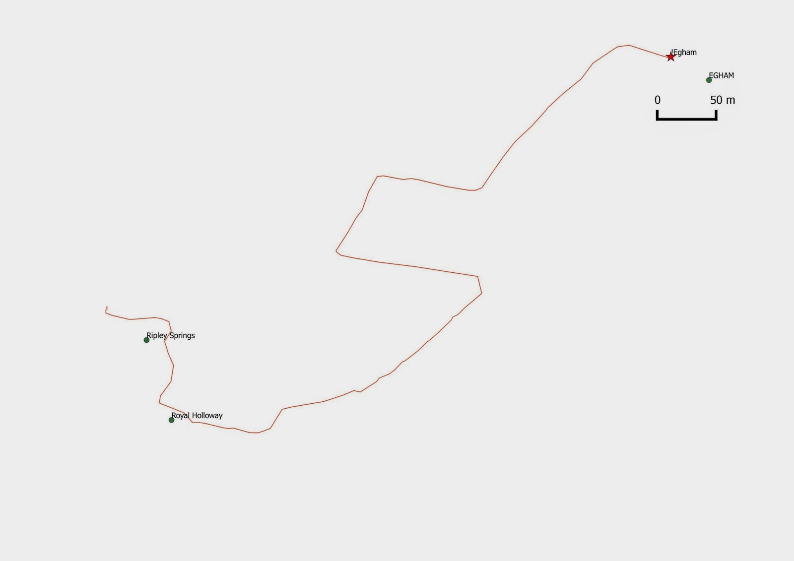
Going down to Egham with my kit (GPS, camera, notepad) I didn't know what to expect: what would the essence of Egham look like?  See below:


It turns out 'Egham' (according to OS data) resides at the intersection of The Crescent and Spring Avenue.  (Or at least within 50 metres of the intersection, in someone's backyard!)


Friday, May 16, 2014

PARISH 1: Rural Place Hacking

I used 63 X 1m resolution LiDAR tiles to make a terrain map of Egham parish.  The boundary is based upon a mid-1800s civic parish map of Egham held in the British Library (consulted a few months ago).  Based on that boundary and Ordnance Survey base data I identified 65 named places in Egham.  The coordinates of these named places (some of which are topographical, as opposed to point, place-names) have been uploaded to my Garmin 60CSX GPS unit, the goal being to see how many places I will be able to pinpoint by being physically present at the named place (i.e. on the ground).  To achieve all 65 would, I believe, necessarily involve a small amount of breaking and entering.  Therefore, I will merely attempt to get as close as possible to each of the named places.  Once there (or as close as possible) I will document the place through images and text, and the results of each will be the subject of a subsequent blog entry.  The result will be a comprehensive mapping of Egham Parish, the final step of which is a full traverse of the boundary.

Map made using ArcGIS 10.1